There is a set of wooden steps on County Highway U, a quarter mile west of County A, and almost nobody walking up them knows they are about to stand on the highest ground in the forest. Parnell Tower is sixty feet of wooden staircase and platform at the top of that climb, and on a clear day the view from it runs about twenty-five miles in every direction.
That is the whole attraction. No gift shop, no admission desk, no interpretive centre. A tower, a loop trail, and a view that most people in Wisconsin have never seen.
What you are actually climbing
The tower stands at the highest point of elevation in the Kettle Moraine State Forest, on ground about 1,289 feet above sea level. Sixty feet of timber puts you above the tree canopy, which is the point: from the ground the moraine reads as hills, and from the platform it reads as the long gravel ridge it actually is, with farmland running away on both sides.
The steps start at the car park and climb through hardwoods before the tower appears. It is not a difficult walk to the tower itself. The loop that continues past it is the part that takes a morning.
What you can see from the platform
Sixty feet does not sound like height until you are above a hardwood canopy on the highest ground for twenty-five miles. The platform gives a full circle, and the thing it makes obvious is the shape of the moraine itself.
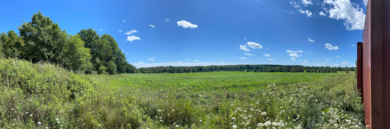
Look along the ridge and you are looking down the line where two lobes of ice ground against each other. Look off either side and the ground drops to farmland, flat where the glacier smoothed it. The kettles read as dimples from up here, which is impossible to see from a car.
On a clear day the range is about twenty-five miles. On a hazy August afternoon it can be a third of that, which is another argument for October, when the air is usually cleaner as well as the trees being better.
The platform is open to weather and it is genuinely cold up there in a wind that felt mild at the car park. Take a layer you would not bother with at ground level.
The 3.5-mile loop, and the elevation nobody warns you about
The Parnell Tower Trail is a 3.5-mile loop, marked purple, beginning at the County U car park with that series of steps. The Wisconsin DNR gives it as 3.5 miles and so does everyone else once you look properly, so ignore the shorter figures floating about online. Those come from people who walked to the tower and turned round.
Elevation gain over the loop is around 318 feet, and average completion time runs about an hour and twenty minutes. Neither number sounds like much. Both are earned on rocks and roots rather than gradient, and the footing is the thing to plan for. This is not a trail for road shoes.
Part of the loop overlaps a segment of the Ice Age National Scenic Trail, which runs thirty-one miles through the length of the Northern Unit. A rustic backpack shelter sits near where the two meet, reservable through the DNR, which is why through-hikers treat this tower as a landmark rather than a destination.
What is at the trailhead
More than you expect, and this is worth knowing because most write-ups imply there is nothing.
The County U trailhead has picnic tables, grills, drinking water and vault toilets. That turns the tower from a twenty-minute stop into somewhere you can reasonably spend a couple of hours with a cooler, which is how a lot of local families use it.
What it does not have is food, shelter from weather, or reliable mobile coverage once you drop off the high ground into the loop.
Hours, stickers and dogs
The forest is open 6am to 11pm daily, all year, and the tower with it. A Wisconsin state park admission sticker is required on your vehicle. Nothing at the trailhead enforces it, which leads a certain number of people to find out the hard way that the requirement is real.
On weekends, the number to call is the Ice Age Visitor Center on 920 533 8322 rather than the forest headquarters, because headquarters is closed Friday through Sunday.
Dogs are welcome on the designated trails, on a leash no longer than eight feet. That eight-foot limit is specific and it is enforced more than people expect on busy autumn weekends.
When to come, and why October is not a coincidence
Go in the first half of October. The hardwood canopy on the moraine peaks early-to-mid month, and from sixty feet up the colour reads as a landform rather than a roadside. It is the best fall view in the Northern Unit and the reason this tower has any reputation at all beyond the county.
The evidence for that is in what has been written about it. Of the handful of genuine articles anyone has published on Parnell Tower, almost all are about autumn colour. Nobody writes about it in July.
That said, the other seasons each have an argument. Winter strips the leaves and the view gets longer, and the trail stays open for snowshoeing. Spring is the weak one, because the low ground between the kettles holds water and the trail turns to mud. AllTrails puts the usable window as March through October, which is about right if you are honest about the footing.
Summer brings mosquitoes, and they are not a minor complaint in the wet sections. Bring spray or walk in the morning.
If the loop is not enough
The Parnell loop is one of seven walking options in the Northern Unit, and it is on the shorter end. If you want a longer day, the DNR mileages are worth knowing before you drive out.
- Greenbush, 13.5 miles of trail at the northern end, and the mountain bike network that comes with it.
- Zillmer, 11.4 miles through the middle of the unit.
- New Fane, 7.7 miles at the southern end.
- Lake to Lake Bike Trail, 6.5 miles between the two swimming lakes.
- Parnell Tower, 3.5 miles, the one you are on.
- Butler Lake, 3 miles, quiet.
- Tamarack, 2 miles, the short option.
Over the top of all of them, the Ice Age National Scenic Trail runs thirty-one miles through the length of the forest, which is the reason the backpack shelters exist.
Is it in Plymouth or Cascade?
The postal address reads W7876 County Highway U, Plymouth, and this confuses people who then plan a day around the wrong town.
The tower is five miles from Cascade and 6.4 miles from Plymouth. The USGS map sheet it appears on is called Cascade. What the address reflects is which post office serves that stretch of County U, which in rural Sheboygan County has never had much to do with where things actually are.
Practically: Cascade is the closer village for food, fuel and a bed. Plymouth is larger and has more of both, if you want the choice.
What else is out here
The tower sits near the middle of a cluster of things worth an afternoon, most of them within five miles.
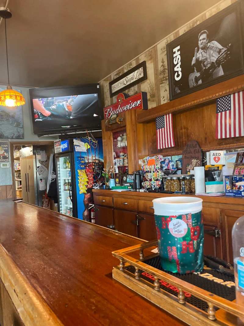
For drinking and eating rather than walking, two places sit west of Cascade within a couple of miles of each other.
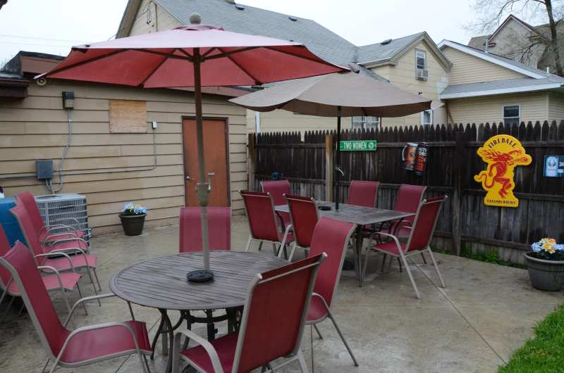
SoLu Estate makes wine and mead on County Road F and runs live bands most weekends in season. Harbor Lights sits on Lake Ellen with a patio and a summer beach bonfire. Between them they cover most of what an evening needs after a morning on the trail.
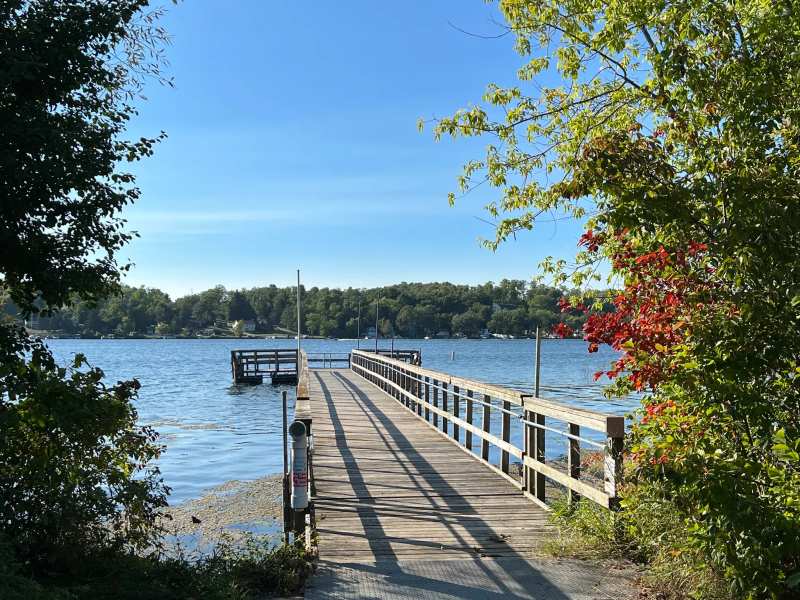
The two lakes, the visitor centre hours that trip people up and the rest of the thirty thousand acres are laid out in thirty thousand acres of glacial hills.
Getting to the trailhead means driving County A, and that road is also the scenic drive through the kettles. The approach is half the morning if you let it be.
And when you come down off County U looking for a bed or a plate, there are nine places to camp and five to eat in the village five miles east five miles east.
Frequently asked questions
Published August 31, 2026